Kuressaare · Estonia
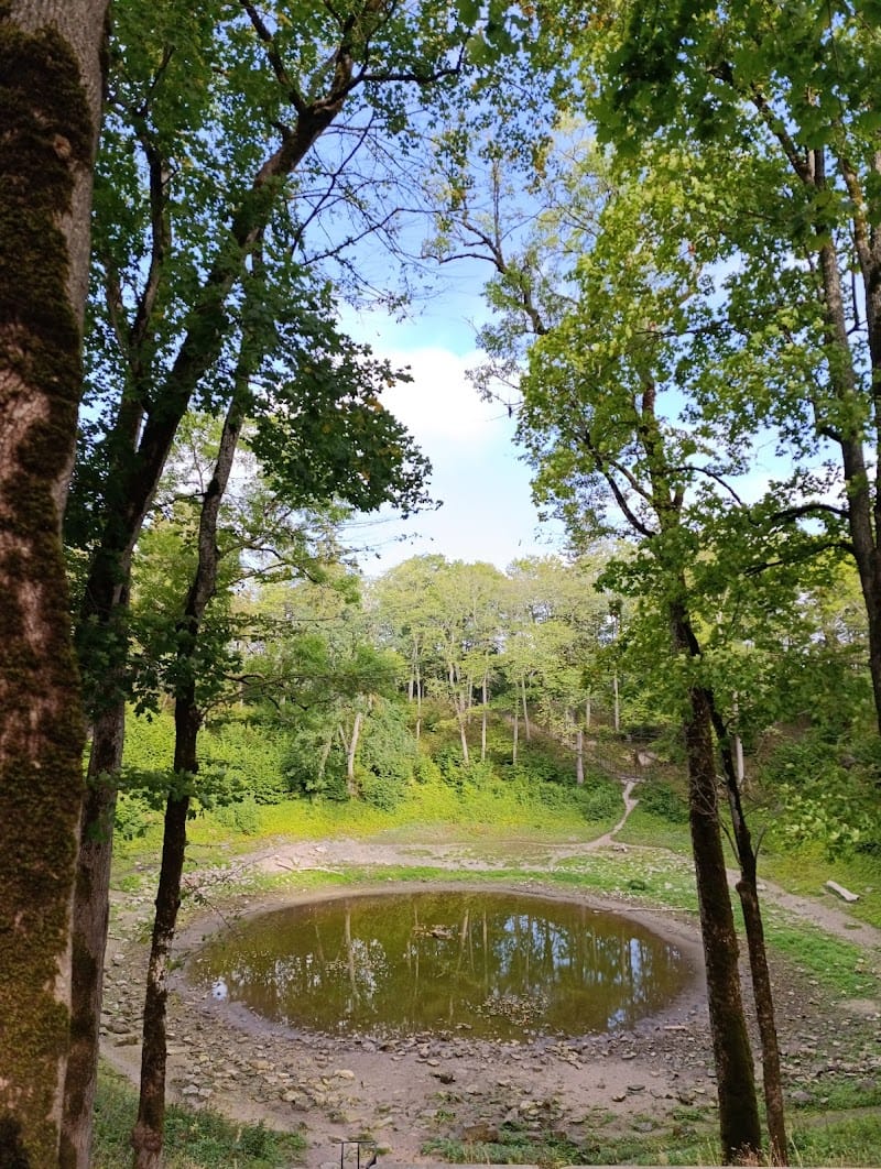
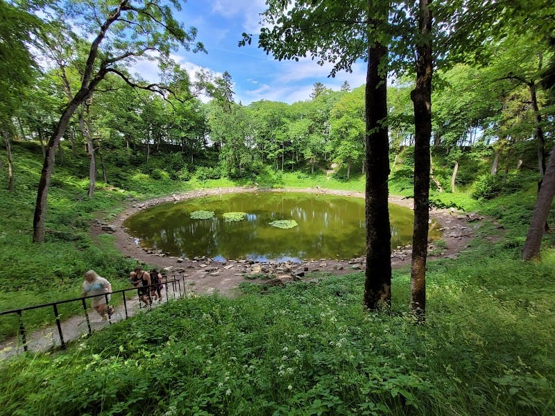
Kaali crater
📍 järv, Kaali, Kaali, 94143 Saare maakond, Estonia
Photos
Saaremaa is the largest and most populous island in Estonia. Measuring 2,673 km2 (1,032 sq mi), its population is 31,435 (as of January 2020). The main island of the West Estonian archipelago (Moonsund archipelago), it is located in the Baltic Sea, south of Hiiumaa island and northwest of the Gulf of Riga. The administrative centre of the island, and of the Saare maakond (county), is the town of Kuressaare. From the 13th century until the first half of the 20th century, the island of Saaremaa was known in most of the world by variants of its other historical name Ösel.
- 1 Saaremaa (; Estonian: [ˈsɑˑreˌmɑː]) is the largest and most populous island in Estonia.
- 2 From the 13th century until the first half of the 20th century, the island of Saaremaa was known in most of the world by variants of its other historical name Ösel.
Comments
No comments yet — be the first to share your visit (in the app).
Want to leave a review? Comments are written from inside the app — download Baltic Traveler to share your visit.