Telšiai · Lithuania
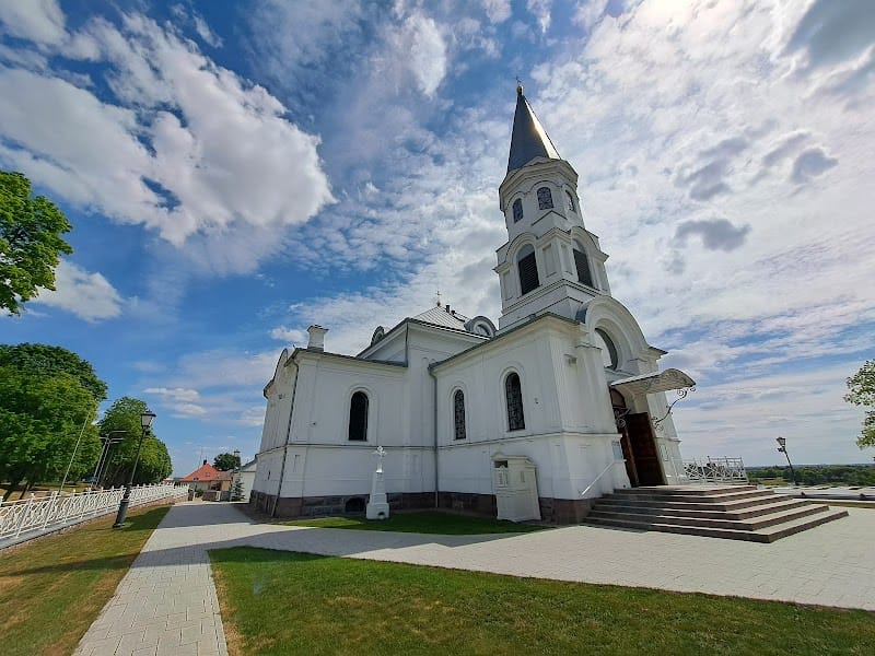
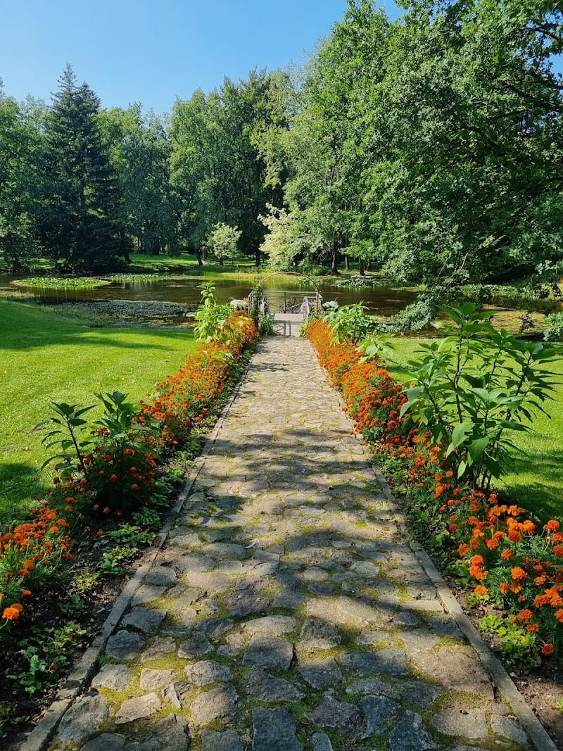
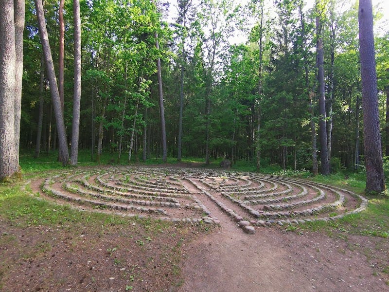
Varniai Regional Park
📍 Dumbrių g. 3, 88324 Ožtakiai, Lithuania
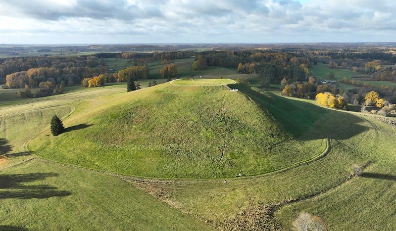
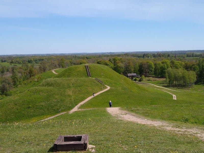
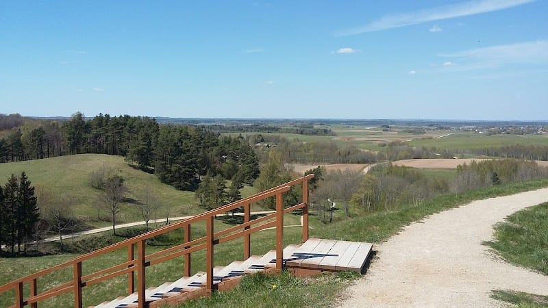
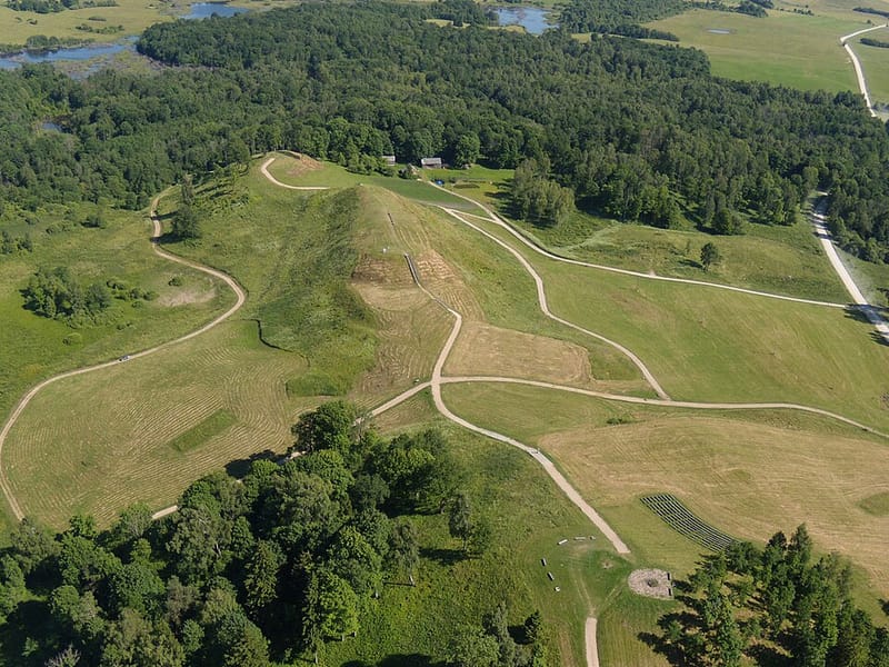
Landscape of hills & marshland, with hiking, abundant birdlife & millennia-old defence mounds.
Landscape of hills & marshland, with hiking, abundant birdlife & millennia-old defence mounds.
Located at Dumbrių g. 3, 88324 Ožtakiai, Lithuania.
Rating: 4.6/5 (2138 reviews)
Website: https://zemaitijosstd.lrv.lt/lt/veiklos-sritys/lankytoju-centrai/varniu-regioninio-parko-lankytoju-centras-ir-gamtos-mokykla/
Photos
The Samogitian Upland is a hilly terrain in the west of Lithuania. It is approximately 100 km in length in the northwest to southeast direction and 50 km in width. The current terrain of the highlands was formed after the last ice age as a result of the repeated regressions during warmer periods and progressions during colder periods. The Žemaitija National Park and the Varniai Regional Park are within the area. The rivers that begin in the highlands include: Venta, Virvyčia, Minija, Babrungas, Kražantė, Akmena, Ančia. The lakes within the area include: Plateliai Lake, Lūkstas, Paršežeris, Biržulis. Its highest, central part is the Samogitian Watershed, which contains the highest point in the upland: the Medvėgalis hill (234.6 m).
- 1 The Žemaitija National Park and the Varniai Regional Park are within the area.
Comments
No comments yet — be the first to share your visit (in the app).
Want to leave a review? Comments are written from inside the app — download Baltic Traveler to share your visit.